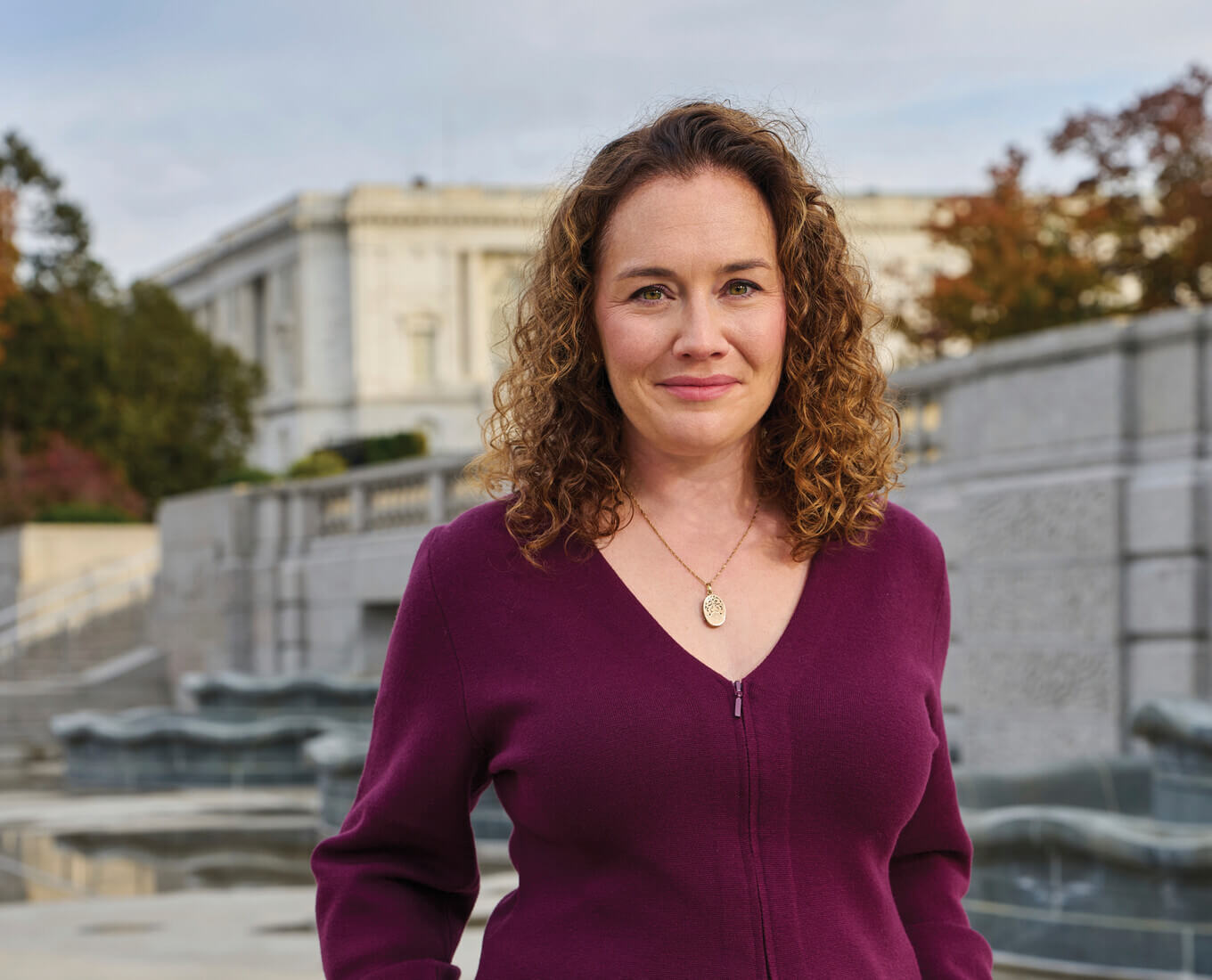
Amy D. Finstein, associate professor of visual arts at Holy Cross, never forgot her first architecture professor. As an undergraduate American studies major at Brandeis University, she enrolled in the late Professor Gerald Bernstein’s survey course on global architectural history.
“On the first day of class, Professor Bernstein walked in and asked us, ‘What is architecture?’” Finstein recalls. “His answer — which I use in my courses — was, ‘the enclosure of significant space.’ That definition was so cool because it invited discussion of outdoor spaces and all of the variations of the built environment. Today, I teach parks and bridges; I wrote a book, ‘Modern Mobility Aloft,’ about elevated highways. Architecture is everywhere, and it’s everything.”
Finstein, who earned her Ph.D. in architectural history from the University of Virginia, wants her Holy Cross students to understand that architecture is a lens through which people can better understand the world. “Everyone needs to know something about architecture because everyone has a hand in making choices that impact the built and natural environment,” she says. “Architecture impacts everyone, every day.”
Architecture is: a way to reveal buried stories
“When you study a highway, you traverse a lot of different neighborhoods; you can cover the scale of an entire city,” Finstein says. In “Modern Mobility Aloft,” she explores urban modernization in America in the early automotive age. The book was the 2021 recipient of the Fred B. Kniffen Book Award from the International Society for Landscape, Place, and Material Culture.
“I begin my book with a narrative of when I was first out of college and working in downtown Boston from 1998 to 2000 when the Big Dig was at its height,” Finstein says. The Big Dig, one of the most challenging infrastructure projects ever tackled in the United States, moved the city’s elevated Central Artery, which opened in 1959, underground while creating overhead the Rose Kennedy Greenway, a series of parks, on what was the former Central Artery’s path.
“I remember thinking, ‘Somebody thought this elevated highway through the middle of the city was a good idea not so long ago, and now we're tearing apart the whole city again in this remarkably drastic way,” Finstein says. “The irony of the Big Dig is that we now have this beautiful new series of parks, but there's still just a bigger highway underneath. It didn’t solve the fundamental problem of transportation in Boston.”
For two cohorts of Finstein’s Making the Modern City course, Holy Cross students researched and documented the stories of the people, businesses, buildings and landscapes that occupied the one-and-a-half-mile corridor in Boston before it was cleared to construct the Central Artery in the 1950s. The project, "Before Displacement: An Urban History," was recently awarded the Paul E. Buchanan Award from the Vernacular Architecture Forum.
“The project became a lens for breaking down barriers and asking questions about who was there before and what their stories were, without any preconceived notions,” she says. “That's a great model for life in general.”
Architecture is: a reflection of history
As a scholar, Finstein studies architecture as a way of understanding a place and its people. To understand Worcester more deeply, she turned to maps of the built environment. “We tend to think maps are objective, but in fact, the opposite is true,” she says. “They are actually subjective. There are people behind maps.”
In spring 2023, Finstein took a research leave and enrolled in Introduction to Geographic Information Systems (GIS) at Holy Cross. GIS engages digital tools to analyze and visualize map data. “I wanted to better understand how to use maps as a tool,” she says, ending up in class seated alongside some of her students. “They were surprised to see me!”
Using her new GIS knowledge, Finstein began comparing redlining maps against more modern atlases of Worcester. Redlining maps, created in the 1930s by the federal government, were rooted in racial and ethnic discrimination and used to deny mortgages to neighborhoods across every major U.S. city. Finstein digitized dozens of pages from historic atlases of Worcester housed at the Worcester Historical Museum, standing on a ladder overhead to capture the images. Then, she overlaid them with redlining maps and current GIS data from the city.

